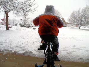
It’s been nearly four full days since snow accumulation was predicted for the Metro East and two days since accumulation was recorded. It is most certainly time.
The National Weather Service is calling for 1-2 inches of snow accumulation overnight for the Collinsville area. There have already been 17 days in December and January for which at least a trace of snowfall was recorded in the St. Louis area, according to the National Weather Service.
Adding to weather intrigue is a predicted high for Tuesday of 15 degrees and a wind advisory in effect until 6 a.m. Tuesday. Winds are expected to pick up at about midnight with winds out of the northwest at 20-30 mph, with gusts up to 45 mph through the overnight hours.
To get a better understanding of how are recent spat of unusual cold and snowy weather compares with places more accustomed to bitter winters, we reached out to Markus Blumrich, The Metro Independent’s untrained weather spotter in Saskatoon, Saskatchewan, Canada.
Blumrich reported a recent warming trend 1,476 miles to our north. “It’s been like spring here the last week and a half, It’s been thawing,” Blumrich said. “I was walking the dogs the other day and realized I was walking on grass.”
Saskatoon will be basking in a springlike 19 degrees (-7 Celsius) Tuesday.


