Bereft of dangerous driving conditions for more than two weeks, significant sleet and snow have returned to the Collinsville area forecast.
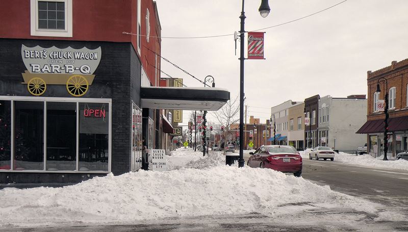
Bert’s Chuckwagon in the snow / Photo by Roger Starkey
Caseyville and the southern parts of Collinsville saw a dusting of snow Tuesday night, but the rest of the area has not experienced winter precipitation since nearly half an inch of snow covered the Metro East on Feb. 9. If current predictions hold, this weekend will get the area back to the 2014 norm.
Friday should be calm, with a 40 percent chance of snow between 5 p.m. and midnight. Total accumulation, if any, should be less than half an inch.
The real fun starts Saturday evening, during CARD’s Daddy Daughter Date Night at the Gateway Center. Current predictions call for a chance of sleet at 6 p.m., when the first dancers are entering the building, with freezing rain being added to the mix by the time fathers and daughters have shared their last public embraces at 9 p.m.
A combination of sleet and freezing rain are likely to continue throughout Saturday night and all day Sunday. Snow will join the party Sunday afternoon and continue overnight. Total snow accumulation could be 5-8 inches.
The nasty weather Sunday could hurt attendance during the second day of the Psychic Fair at the Gateway Center, but the participants probably saw that coming.
The snow and ice that accumulates Sunday is unlikely to melt soon. The next forecasted high to break the freezing barrier is Wednesday, and that at only 33 degrees. The average daytime high temperature for the Metro East in the first week of March is between 50 and 52 degrees.
The Cardinals play their first Spring Training game Friday at 12:05 p.m. against the Marlins in Jupiter, Fla.
Note this forecast information is current at of 4:15 a.m. Friday and is subject to change by the minute.